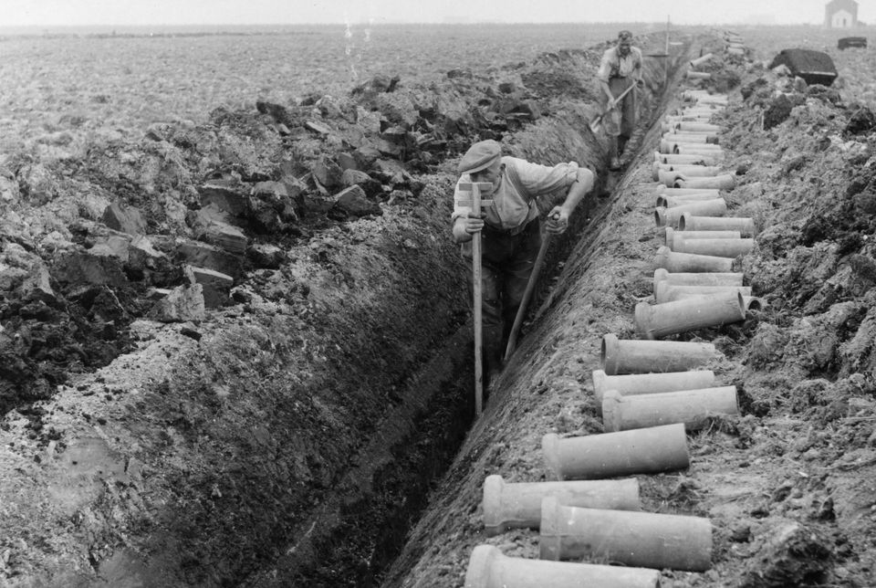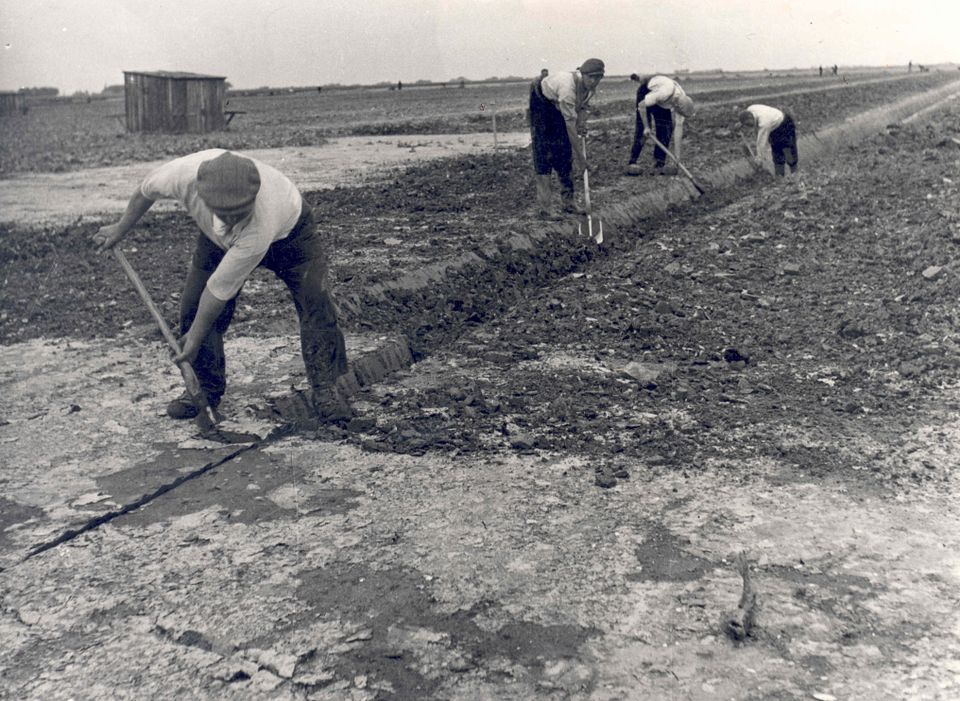
From sea to land. The history of the Noordoostpolder is overflowing with beautiful stories. There were not only great technical achievements to drain the polder, but interesting people who created this new place after the devastation of World War II and a strict selection procedure. Here, on the floor of the Zuiderzee at 4 m below sea level, there is more than just the history of the Noordoostpolder visible. The entire story of all of the Netherlands is told here.
If you want to explore Dutch history, come to the World Heritage Site of Schokland. This stranded island was once a courageous, but vulnerable piece of land in the rough Zuiderzee. Some 12,000 years ago, hunter-gatherers lived there; in the Middle Ages it was mostly inhabited by farmers who cultivated cattle and grew grain. From the 12th century the Schokkers lived on the mounds they built themselves called Zuidpunt, Zuidert, Middelbuurt and Emmeloord. Only on these hills were they safe from the Zuiderzee, which was gradually swallowing up the island.
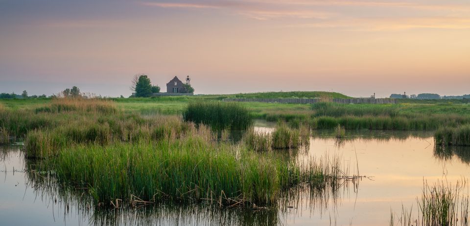
“ IF YOU LISTEN CLOSELY, YOU CAN STILL HEAR THE SEA ”
Over the centuries, agriculture made way for fishing, shipping and trade. In the 13th century the sheltered east side of Schokland offered protection from storms for the cog ships of the Hanseatic fleet and in the 17th century for VOC ships. In 1660 the city of Amsterdam bought the northern part of Schokland. It was called Emmeloord even back then and belonged to the region of Holland. Ens was the southern part of the island and belonged with Overijssel. Only in 1806 were the two parts united under the name Schokland. In 1859 the Zuiderzee finally won the struggle against the 635 Schokkers still living on the island. The government insisted that they leave their homes and build a new life on the mainland.
Visit Schokland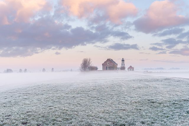
“ A MAN-MADE SOCIETY IN OPTIMAL SHAPE ”
Anyone who wanted to move to the fertile Noordoostpolder after it had been drained had to meet strict criteria. Not everyone was simply given a farm, house or even a job. Only people who could turn ‘the new land’ into a success were allowed to settle there. The Dutch government had never interfered with the population of an area to such an extent before. The candidates were selected by age, married status, finances and education. Selection officials armed with evaluation forms then visited the people who wanted to start a new life in the Noordoostpolder. They looked in the wife’s linen closet, tested their agricultural expertise and looked for active social participation in their community. This all had one purpose: building up the ideal society quickly and effectively. Only farmers who had lost their farm in Zeeland after the flood disaster of 1953 could move to the Noordoostpolder without undergoing the selection procedure.